
Category:Relief location maps of Germany
Media in category "Relief location maps of Germany"
The following 38 files are in this category, out of 38 total.
-
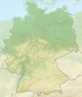 Relief Map of Germany.png 1,000 × 1,185; 1.71 MB
-
 Relief Map of Germany.svg 1,073 × 1,272; 6.54 MB
-
 Reliefkarte Deutschland ohne Grenzen.png 3,637 × 4,647; 24.43 MB
-
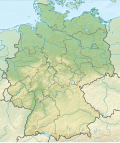
 Reliefkarte Deutschland.png 3,638 × 4,647; 23.88 MB
-
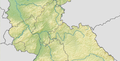
 Baden-Wuerttemberg relief location map.jpg 1,673 × 1,891; 1.32 MB
-
 Bavaria relief location map.jpg 1,695 × 1,672; 1.14 MB
-
 Bavaria relief location map.png 1,695 × 1,672; 4.45 MB
-
 Berlin relief location map.png 1,400 × 1,151; 2.31 MB
-
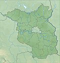 Brandenburg relief location map.jpg 1,578 × 1,661; 794 KB
-
 Brandenburg relief location map.png 1,578 × 1,661; 2.89 MB
-
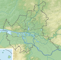
 Central West Germany.png 1,750 × 890; 1.32 MB
-
 Hesse relief location map.svg 744 × 1,040; 2.69 MB
-
 Map of Schwenken Prevalence in Germany.svg 1,073 × 1,272; 6.59 MB
-
 Mecklenburg-Vorpommern Relief Kreise Namen Grenze.png 1,744 × 1,197; 1.67 MB
-
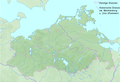
 Mecklenburg-Vorpommern relief location map.jpg 1,744 × 1,197; 504 KB
-
 Mecklenburg-Vorpommern relief location map.png 1,744 × 1,197; 1.62 MB
-
 North Rhine-Westphalia location map 03.svg 527 × 524; 6.76 MB
-
 North Rhine-Westphalia location map 05.svg 527 × 524; 4.42 MB
-
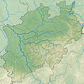 North Rhine-Westphalia relief location map.jpg 1,800 × 1,790; 1.52 MB
-
 NRW cut 5.834–7.678°E, 50.453–52.515°N.png 529 × 792; 301 KB
-
 NRW cut 5.834–7.9546°E, 50.551–52.277°N2.png 598 × 792; 309 KB
-
 NRW relief cut 5.834–7.6046°E, 50.551–52.277°N.png 504 × 792; 281 KB
-
 NRW relief cut 5.834–8.718°E, 50.453–52.515°N.png 808 × 948; 634 KB
-
 Northern Germany 1989.png 939 × 1,026; 926 KB
-
 Hamburg relief location map.png 558 × 548; 486 KB
-
 Reliefkarte DE PL ohne Grenzen.png 6,289 × 3,896; 16.07 MB
-
 Bremen Groningen Friesen.png 843 × 559; 205 KB
-
 Bremen relief location map.jpg 738 × 1,003; 166 KB
-
 Lower Saxony relief location map.jpg 1,786 × 1,509; 961 KB
-
 Niedersachsen Relief Friesen.png 1,786 × 1,509; 3.29 MB
-
 Rhineland-Palatinate relief location map.svg 930 × 1,234; 3.64 MB
-
 Saarland relief location map.svg 1,060 × 882; 5.23 MB
-
 Saxony relief location map.jpg 1,838 × 1,340; 901 KB
-
 Saxony-Anhalt relief location map.jpg 1,273 × 1,500; 691 KB
-
 Saxony-Anhalt relief location map.png 1,272 × 1,499; 2.75 MB
-
 Schleswig-Holstein relief loc.png 882 × 775; 1,000 KB
-
 Schleswig-Holstein relief location map.jpg 968 × 775; 202 KB
-
 Thuringia relief location map.jpg 1,492 × 1,171; 798 KB


