
Category:Relief location maps of the United Kingdom
Media in category "Relief location maps of the United Kingdom"
The following 14 files are in this category, out of 14 total.
-
 Reliefkarte Vereinigtes Königreich.png 2,825 × 4,478; 7.79 MB
-
 United Kingdom relief location map.jpg 1,348 × 2,083; 831 KB
-
 Central England relief map.png 1,086 × 824; 1.25 MB
-
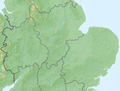
 England Project Emily relief location map.jpg 754 × 792; 80 KB
-
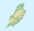 Isle of Man relief location map.svg 1,200 × 1,100; 340 KB
-
 Northern England relief map.png 878 × 1,088; 1.26 MB
-
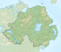 Northern Ireland relief location map.png 1,208 × 1,027; 1.25 MB
-
 Northern Scotland relief map.png 1,696 × 1,839; 2.12 MB
-
 Relief Map of Northern Ireland.png 806 × 685; 689 KB
-
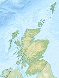 Scotland relief location map.jpg 1,128 × 1,483; 927 KB
-
 Southern England relief map.png 1,736 × 889; 1.46 MB
-
 Southern Scotland and Northern Ireland relief map.png 1,324 × 1,010; 1.77 MB
-
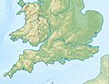 United Kingdom South relief location map.jpg 837 × 644; 176 KB
-
 Wales relief location map.jpg 2,000 × 2,390; 742 KB


