
Category:Topographic maps of Georgia (country)
Subcategories
This category has the following 2 subcategories, out of 2 total.
R
Media in category "Topographic maps of Georgia (country)"
The following 14 files are in this category, out of 14 total.
-
 Armenia Railway.jpg 3,851 × 2,999; 1.63 MB
-
 Caucasus Mtns 42to44N 40to48E Topo Rainbow Zebra 1530.jpg 9,600 × 2,400; 16.39 MB
-
 Caucasus region 1994.jpg 3,119 × 2,392; 1.18 MB
-
 Caucasus topographic map-hu.png 2,000 × 1,555; 4.06 MB
-
 Caucasus topo map-blank.jpg 1,155 × 898; 198 KB
-
 Caucasus topographic map-fr.png 1,155 × 898; 1.35 MB
-
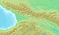 Georgia topographic map DEMIS.jpg 1,462 × 882; 194 KB
-
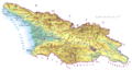
 Georgia Topography.png 1,926 × 1,217; 3.62 MB
-
 Gruzja.png 3,067 × 1,638; 1.84 MB
-
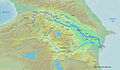 Kurarivermap.jpg 1,484 × 866; 1.57 MB
-
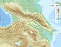
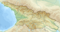 Relief Map of Georgia.png 1,182 × 629; 1.08 MB
-
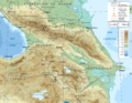
 Reliefkarte Georgien.png 2,500 × 1,312; 4.5 MB
-
 Topographic30deg N30E30.png 1,800 × 1,800; 1.18 MB
-
 Çoruhrivermap.jpg 864 × 671; 864 KB


