
File:Belgium relief location map.jpg
Size of this preview: 689 × 599 pixels. Other resolutions: 276 × 240 pixels | 552 × 480 pixels | 883 × 768 pixels | 1,136 × 988 pixels.
Original file (1,136 × 988 pixels, file size: 255 KB, MIME type: image/jpeg)
Captions
Captions
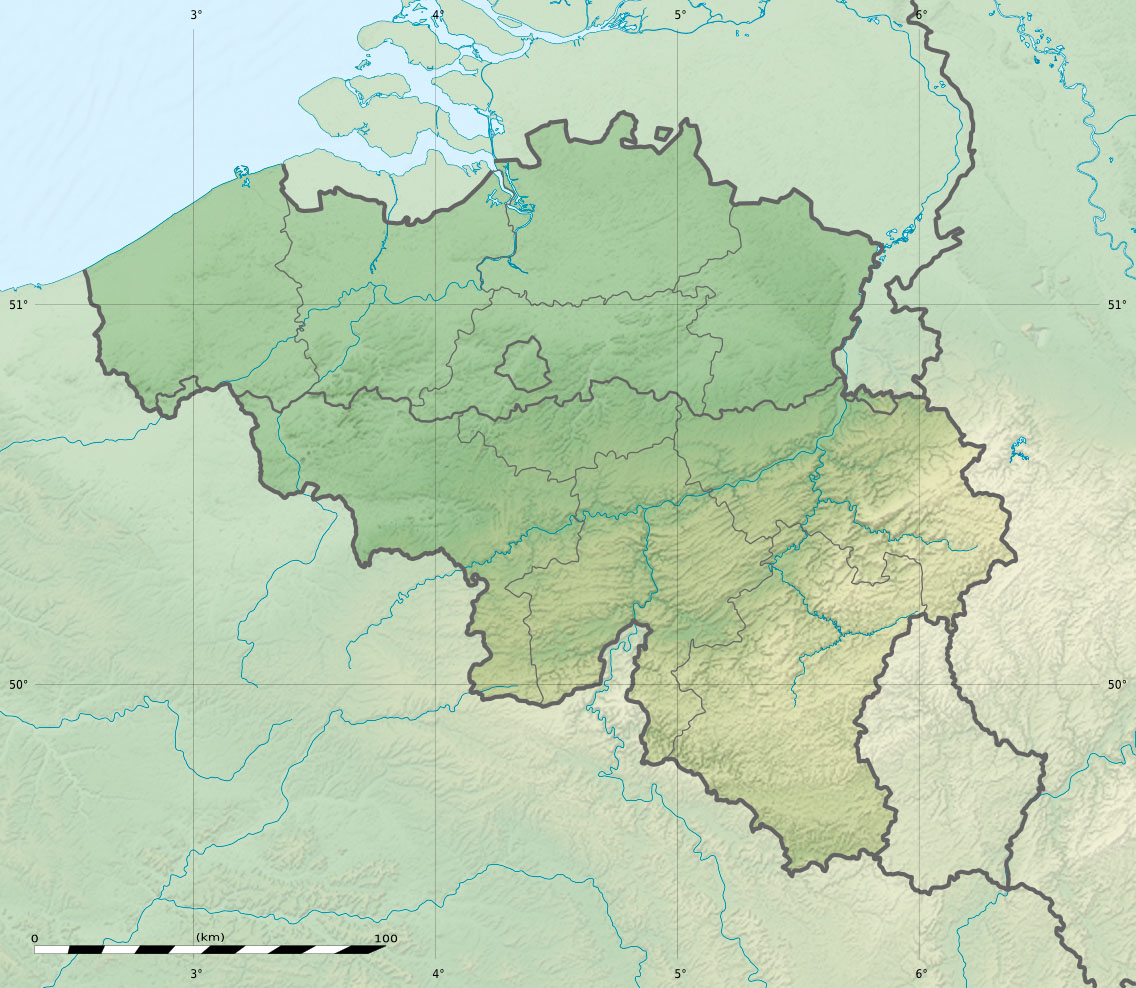
Physical location map of Belgium, for geo-location purposes.
Summary
[edit]| Camera location | | View this and other nearby images on: OpenStreetMap |
|---|
| Description |
Deutsch: Relief Positionskarte von Belgien
English: Physical location map of Belgium, for geo-location purposes.
Français : Carte physique vierge de la Belgique, destinée à la géolocalisation. Scales:
Equirectangular projection, WGS84 datum
Geographic limits of the map:
|
||
| Date | |||
| Source |
Topographic background map: Own work
|
||
| Author | Eric Gaba (Sting - fr:Sting) and NordNordWest | ||
| Permission (Reusing this file) |
|
||
| Other versions |
|


|
This map has been made or improved in the German Kartenwerkstatt (Map Lab). You can propose maps to improve as well.
|
Licensing
[edit]
I, the copyright holder of this work, hereby publish it under the following licenses:

|
Permission is granted to copy, distribute and/or modify this document under the terms of the GNU Free Documentation License, Version 1.2 or any later version published by the Free Software Foundation; with no Invariant Sections, no Front-Cover Texts, and no Back-Cover Texts. A copy of the license is included in the section entitled GNU Free Documentation License. |
This file is licensed under the Creative Commons Attribution-Share Alike 3.0 Unported license.
- You are free:
- to share – to copy, distribute and transmit the work
- to remix – to adapt the work
- Under the following conditions:
- attribution – You must give appropriate credit, provide a link to the license, and indicate if changes were made. You may do so in any reasonable manner, but not in any way that suggests the licensor endorses you or your use.
- share alike – If you remix, transform, or build upon the material, you must distribute your contributions under the same or compatible license as the original.
You may select the license of your choice.
File history
Click on a date/time to view the file as it appeared at that time.
| Date/Time | Thumbnail | Dimensions | User | Comment | |
|---|---|---|---|---|---|
| current | 23:27, 23 September 2010 | | 1,136 × 988 (255 KB) | Sting (talk | contribs) | == {{int:filedesc}} == {{Location|50|30|00|N|04|33|00|E|scale:1000000}} <br/> {{Information |Description= {{de|Relief Positionskarte von Belgien}} {{en|Physical location map of Belgium, for geo-location purposes.}} {{fr|Car |
You cannot overwrite this file.
File usage on Commons
The following 2 pages use this file:
File usage on other wikis
The following other wikis use this file:
- Usage on als.wikipedia.org
- Usage on ar.wikipedia.org
- Usage on ast.wikipedia.org
- Usage on as.wikipedia.org
- Usage on av.wikipedia.org
- Usage on az.wikipedia.org
- Usage on ba.wikipedia.org
- Usage on be.wikipedia.org
- Usage on bg.wikipedia.org
- Usage on bn.wikipedia.org
- Usage on bs.wikipedia.org
- Usage on ca.wikipedia.org
- Usage on ceb.wikipedia.org
- Usage on ce.wikipedia.org
- Usage on ch.wikipedia.org
- Usage on ckb.wikipedia.org
- Usage on cs.wikipedia.org
View more global usage of this file.