
File:Magna Graecia relief location map.jpg
No higher resolution available.
Magna_Graecia_relief_location_map.jpg (497 × 487 pixels, file size: 198 KB, MIME type: image/jpeg)
Captions
Captions
Add a one-line explanation of what this file represents
| Description |
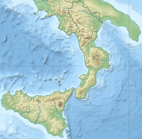
Location map for ancient Greek colonies in southern Italy and Sicily Equirectangular projection, WGS84 datum |
||
| Date | |||
| Source | File:Italy relief location map.jpg | ||
| Author | User:Andrew Dalby: derivative, based on work by User:NordNordWest and Eric Gaba (User:Sting) | ||
| Permission (Reusing this file) |
I, the copyright holder of this work, hereby publish it under the following licenses: This file is licensed under the Creative Commons Attribution-Share Alike 3.0 Unported license.
You may select the license of your choice. |

File history
Click on a date/time to view the file as it appeared at that time.
| Date/Time | Thumbnail | Dimensions | User | Comment | |
|---|---|---|---|---|---|
| current | 18:50, 5 December 2013 | | 497 × 487 (198 KB) | Andrew Dalby (talk | contribs) | {{Information |Description=Location map for ancient Greek colonies in southern Italy and Sicily Equirectangular projection, WGS84 datum |Source=File:Italy relief location map.jpg |Date=2013 |Author=User:Andrew Dalby: derivative, based on work by [[... |
You cannot overwrite this file.
File usage on Commons
There are no pages that use this file.
File usage on other wikis
The following other wikis use this file:
- Usage on fr.wikipedia.org
- Usage on la.wikipedia.org